Plat
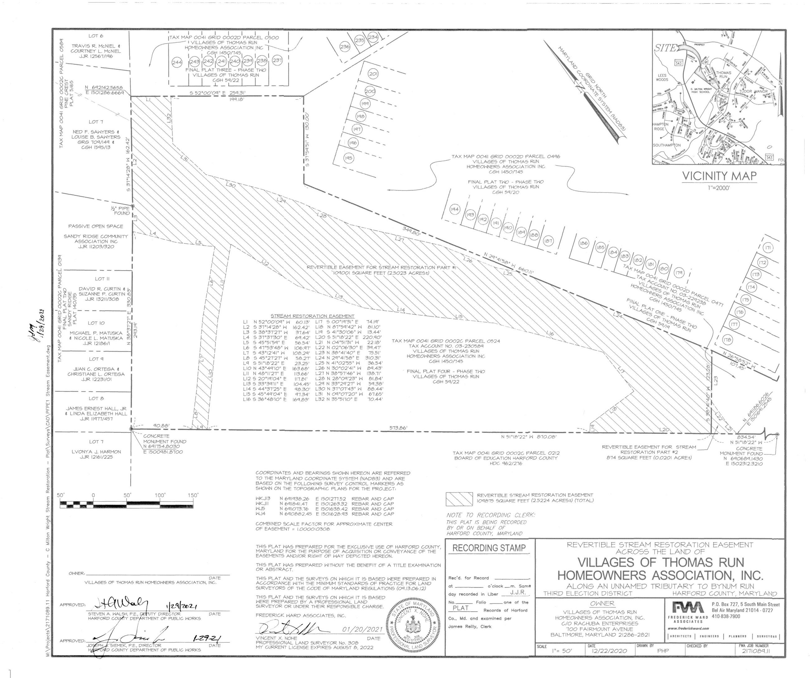
The following is the plat that graphically shows the revertible easement. The plat along with the easement document give the County permission to construct the restoration project.
Once signed the plat is recorded in the land records.
The limits of the easement correspond to the LOD or limit of disturbance on the design plans. The contractor must remain inside the LOD to complete the proposed restoration.
No construction equipment or material deliveries will occur within the community. All access will occur through the school property.
